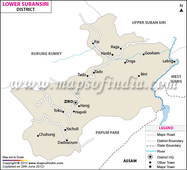
Lower Subansiri District Map |
|
||||||||||
| ||||||||||
|
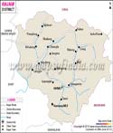
| *Lower Subansiri District Map highlights the National Highways, Major Roads, District Headquarter, etc. |
| Major Districts of Arunachal Pradesh |
 |
 |
 |
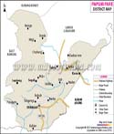 |
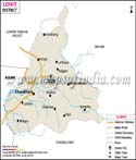
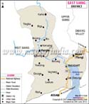
| Lohit District Map | East Siang District Map | Tawang District Map | Papumpare District Map |
 |
 |
 |
 |
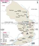
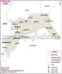
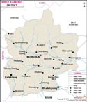
| West Siang District Map | Changlang District Map | West Kameng District Map | Anjaw District Map |
| other districts of Arunachal Pradesh >> | |||
Last Updated on : April 17, 2026