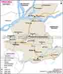
Nagaon District Map |
|
||||||||||
 | ||||||||||
|
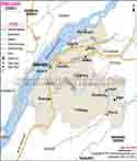
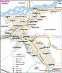
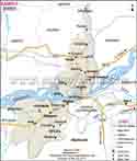
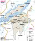
| *District Map of Nagaon highlights national highway, major roads, railways, rivers, etc. |
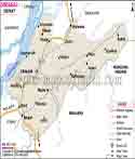
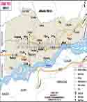
| Major Districts of Assam |
 |
 |
 |
 |
| Dibrugarh District Map | Nagaon District Map | Kamrup District Map | Jorhat District Map |
 |
 |
 |
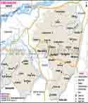 |
| Tinsukia District Map | Sibsagar District Map | Sonitpur District Map | Karbi Anglong District Map |
| more districts of Assam >> |
Last Updated on : April 17, 2026