
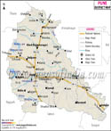
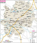
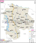
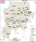
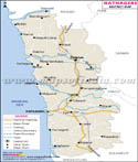
Geographic Location of Latur:
Lotur is located at latitude 18.05 TO 18.07 north and longitude 73.25 To 77.25 east.
Surrounded by Parbhani district in the north, Osmanabad district in the west and south, Bidar district in the east, Nanded district in the north-east and Beed district in the north-west, Latur is the southernmost district of Maharashtra.
Lying on the banks of Panchganga River, the ancient city of Latur is the administrative center of the district. Latur District Map is helpful for the tourists heading to Latur.
History of Latur:
Latur is an ancient city. Its historic name is Ratnapur. Latur city was built by the King Amoghvarsha belonging to the Rashtrakutas dynasty. The Rashtrakutas considered themselves as the citizens of Lattalut.
ndi
The district of Latur has a population of around 2,080,285 (2001 India census).
Language spoken in Latur:
Marathi is the official language of the district.
Economy of Latur:
Agriculture is the chief source of income in Latur. The main crops produced here are pulses, cereals, oilseeds and grapes.
Education in Latur:
- Government Medical College
- Maharashtra Institute of Medical Science & Research
- MIDSR Dental College & Hospital Latur
- MIT College of Commerce & Management Studies
- Maharashtra Institute of Nursing Sciences - B.Sc. Nursing College
- Maharashtra Institute of Physiotherapy
- Maharashtra Institute of Nursing [GNM]
- MIT College of Science and Computer Studies
- Homeopathic Medical College
- College of Nursing
- Government College Of Agriculture
- College of Agri- Business management
- Government Residential Women's Polytechnic
- Government ITI
- Government Ladies ITI
- Government ITI for Backward Class
- College of Computer Science and Information Technology
- Rajarshi Shahu College
- Dayanand College
- Mahatma Basweshwar College
- Dayanand College of Pharmacy
- Maharashtra College of Nursing
- Maharashtra College of Information Technology
Some of the popular places of interests in Latur include:
- Bhavani Mandap
- Katyani Devi Temple
- Mahalaxmi Temple
- Panhala Fort and Hill Station
- Rankala Lake
- Shalini Palace
- Shankaracharya's Cloister
- Vishalgad Fort
Latur Culture:
The major folk-arts of the district are Banjara and Gondhali dance.
Hotels in Latur:
- Hotel Anjni International
- Hotel Classic Aurangabad & nanded
- Hotel Anjni Executive
- Valley View Resort Mahabaleshwar
- Hotel Ramsukh Mahabaleshwar
- Hotel & Resort Ramsukh Mahabaleshwar
- Hotel Ddreamland Mahabaleshwar
Getting to Latur is easy and convenient. The nearest airport to Latur is at Aurangabad, located at a distance of 290 kilometers from the city. Apart from air access, Latur is also well-connected to Mumbai and Hyderabad by rail.
Last Updated on : May 12, 2026