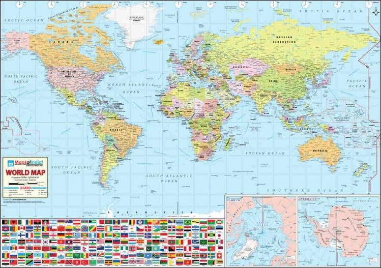
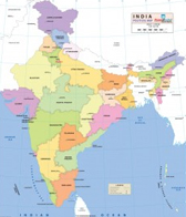
India map (Vinyl Printed)
Getting accurate and up-to-date information on India is tough, but the India Wall Map makes it easy for you. It contains vital information about the country in a nutshell. This all-encompassing map provides users with such information that they perhaps would not find in other maps. Whether you are a student, traveler, researcher, or someone who wants a map to augment his knowledge, then this India Wall Map is just for you. The map reflects the most recent changes and developments in the country and depicts railway lines, national highways and sea routes with precision. This non-tearable and waterproof map is 54 inches x 65 inches in size. Printed on vinyl, the map is ideal for using in academic workshops, exhibitions and conferences, libraries and school halls. This large map is highly portable as it comes in a tube.
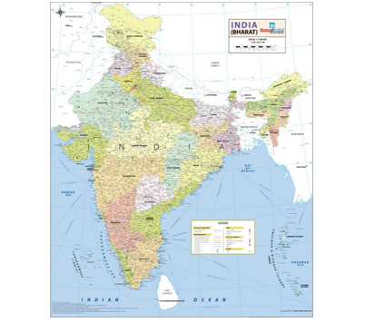
India Map (Synthetic)
Getting accurate and up-to-date information on India is tough, but the India Wall Map makes it easy for you. It contains vital information about the country in a nutshell. This all-encompassing map provides users with such information that they perhaps would not find in other maps. Whether you are a student, traveller, researcher, or someone who wants a map to augment his knowledge, then the India Wall Map is just for you. Approved by the Survey of India, the map reflects the most recent changes and developments in the country. The size of the map is 27.5 x 32 inche
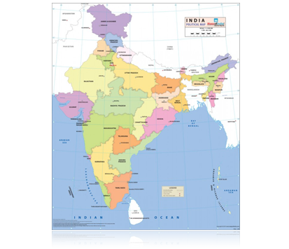
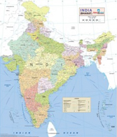
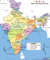
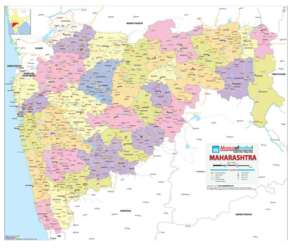
India Political Map
The India Political Wall Map shows all the states and union territories along with their capitals. The states are marked in different colours along with their administrative boundaries. The map accurately depicts international boundaries as well. Approved by the Survey of India, the top-most authority for approval of maps, this aesthetically represented map comes in the size of 27.5 x 32 inches.
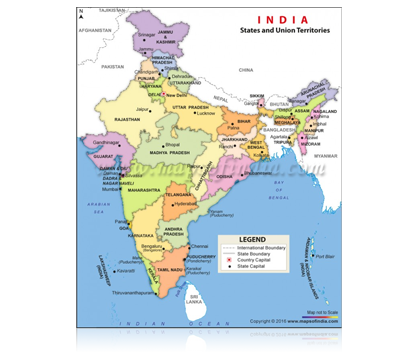
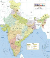
India Political Map (Digital)
The Political Map of India is eye-catching and easy-to-comprehend. The map clearly depicts the demarcated boundaries of States and Union Territories of India, along with the State capitals. This map can be downloaded and edited and is available in JPG, AI, Layered PDF and EPS formats. It can be used by students, teachers, travelers and for ready reference in schools, libraries, offices and homes. Buy India map online in various resolutions and formats.
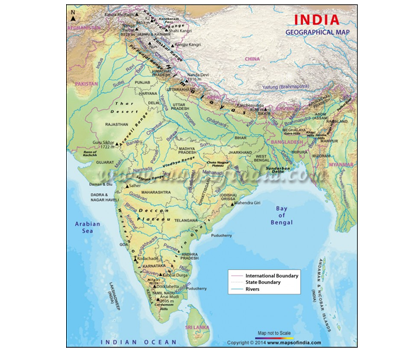
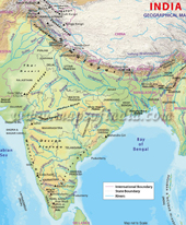
India Physical Map
Physical Map of India showing physical features of India like rivers, lakes, mountains, plateaus, deserts etc. India physical map can be downloaded and edited and is available in JPG, AI, Layered PDF and EPS formats. It can be used by students, teachers, cartographers and for ready reference in schools, libraries, offices and homes. Buy Physical Map of India online in various resolutions and formats.
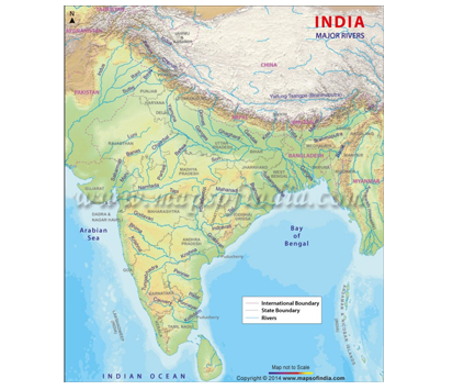
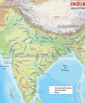
India River Map
The map details the rivers of India and its tributaries spanning the length and breath of the country. The map is useful for students, teachers, researchers, etc. It can also be used in offices and publications. The downloadable map is available in various resolutions and formats such as JPEG, AI, Layered PDF and EPS. The map can be customized as per requirement of the user.