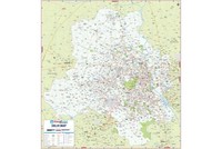
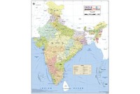
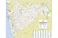
Areas Affected by Heavy Rains and Floods in Mumbai |
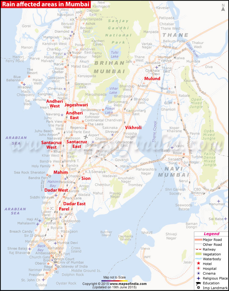
Map showing the areas worst affected by rains in Mumbai
Areas Worst Affected by Waterlogging – Mahim, Dharavi, Dadar, Parel, Hind Mata, Andheri West, Jogeshwari, Andheri East, Vikhroli, Santacrus West, Santacruz East, Sion, Malad, Kandivali, Dahisar, Mulund
Normalcy Returns to Mumbai, Isolated Heavy Rains Expected
10:45 AM, 19 June, 2015 – Life in Mumbai limps back to normal with a substantial dip in the amount of rainfall in the city. Trains are running normally but there are delays in some of the air services. However, the Indian Meteorological Department (IMD) has announced that there will be “continuous unstopping moderate rain” on Monday. They also said that isolated heavy showers will be received by one or two places in the city.
WBST
Heavy Rains Lash Mumbai, Normal Life Affected
19 June, 2015 – Mumbai has come to a standstill due to incessant rains. Trains and flight services have been strongly affected and schools have been ordered to be shut down for the day. Authorities have advised the Mumbaikars to step out only when required. Massive water logging is reported in many areas such as Matunga, Mumbai Central, Andheri, Hindmata, Santa Cruz, Dadar and many more. According to media reports, the Met department has warned that the city will receive more rains and will experience strong winds in the next two days.
2:15 PM – Four more power substations have been shut down as a precautionary measure during the rain. The substations are located at Opera House, Bhendi Bazar, King’s Circle and GTB Nagar.
2:10 PM – Rain disrupts train services on Konkan route.
2:05 PM – Juhu airport flooded, shut down since morning
1:30 PM, 19 June, 2015 – Mumbai city recorded around 170 mm and suburbs averaged around 155 mm rainfall till Friday morning.
Recent Updates on Mumbai Rains
#MumbaiRains Tweets
//