Pathanamthitta District Map |
|
||||||||||||

|
||||||||||||
|
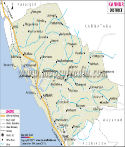
| *Map showing major roads, rivers, etc in Pathanamthitta District of Kerala. | Disclaimer |
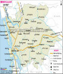
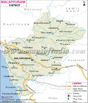
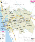
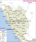
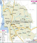
| Major Districts of Kerala |
 |
 |
 |
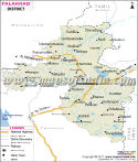 |
| Ernakulam District Map | Malappuram District Map | Kollam District Map | Palakkad District Map |
 |
 |
 |
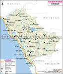 |
| Kannur District Map | Thiruvananthapuram District Map | Kottayam District Map | Kozhikode District Map |
| other districts of Kerala >> |
Pathanamthitta occupies an area 2,642 sq. km. The total population of this district according to 2001 census is 12,31,577, out of which 5,88,035 are male and 6,43,542 are female. The density of population in Pathanamthitta is 467 per square kilometers.
Different agricultural crops, vegetables, spices and rubber are grown in Pathanamthitta. Some of the tourist spots of this district are-
Sabarimala
Aranmula
Kodumon Chilanthiyambalam
Kozhencherry
Thiruvalla
Places in Pathanamthitta Map
Mallappally, Tiruvalla, Rani, Kozhencheri, Aranmula, Elamattur, Perinad, Vadserikkara, Lahai, Pamba, Sittar Estate, Sabarimala, Pandalam, Pathanamthitta, Thonnalur, Konni, Adur, Kudali
Last Updated on : 13/06/2013
|
|