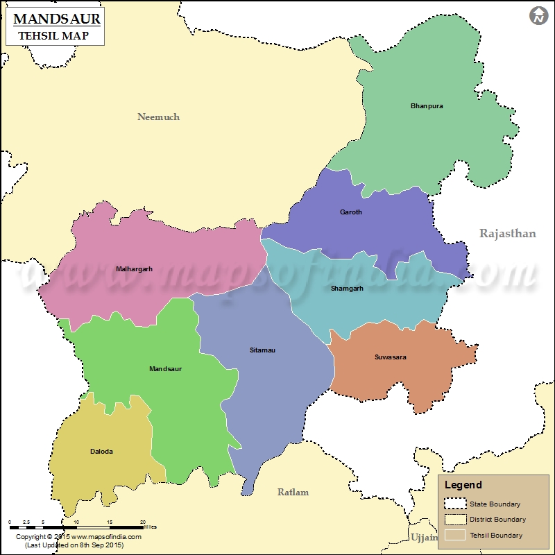
List of Taluk in Mandsaur District | ||
|---|---|---|
| Tehsil/Taluk Name | Total (Rural + Urban) Population (2001) in Number | Pin Code |
| Bhanpura | 132,722 | 458775 |
| Dalouda | N.A | 458667 |
| Garoth | 224,325 | 458880 |
| Malhargarh | 185,079 | 458339 |
| Mandsaur | 396,919 | 458001 |
| Shamgarh | N.A | 458883 |
| Sitamau | 244,679 | 458990 |
| Suwasara | N.A | 458888 |
Last Updated on : September 10, 2015
|
|
