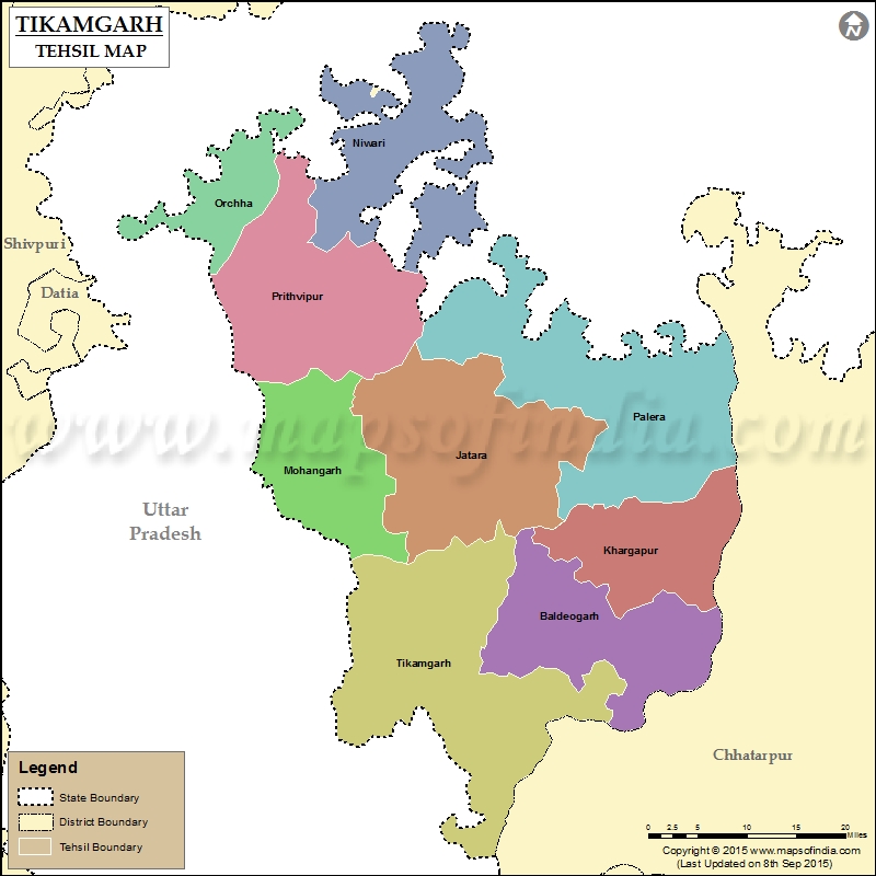
List of Taluk in Tikamgarh District | ||
|---|---|---|
| Tehsil/Taluk Name | Total (Rural + Urban) Population (2001) in Number | Pin Code |
| Baldeogarh | 193,170 | 472111 |
| Jatara | 240,560 | 472118 |
| Khargapur | N.A | 472115 |
| Mohangarh | N.A | 472101 |
| Niwari | 184,682 | 472442 |
| Orchha | N.A | 472246 |
| Palera | 176,411 | 472221 |
| Prithvipur | 158,976 | 472338 |
| Tikamgarh | 249,199 | 472001 |
Last Updated on : September 10, 2015
|
|
