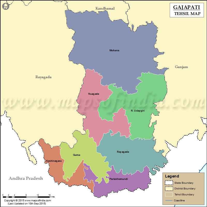
List of C.D. Block in Gajapati District | ||
|---|---|---|
| C.D. Block/Police Station Name | Total : Rural + Urban Population (2001) in Number | Pin Code |
| Adva | 51,261 | N.A |
| Garanandha | 26,293 | 761215 |
| Gurandi | N.A | 761210 |
| Kashinagar | 49,955 | 761206 |
| Mohana | 64,547 | 761015 |
| Parlakhemundi | 119,973 | 761200 |
| R. Udayagiri | 73,352 | 761016 |
| Ramagiri | 26,595 | 761016 |
| Rayagada | 41,507 | 761213 |
| Serango | 65,354 | 761207 |
Last Updated on : March 24, 2020
|
|
