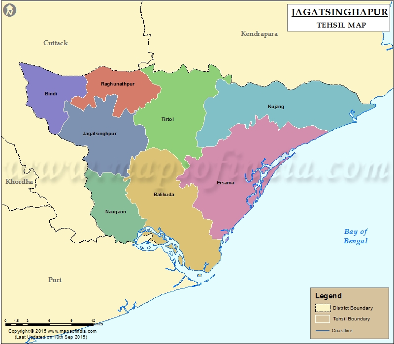
List of C.D. Block in Jagatsinghapur District | ||
|---|---|---|
| C.D. Block/Police Station Name | Total : Rural + Urban Population (2001) in Number | Pin Code |
| Abhyachandpur | N.A | N.A |
| Balikuda | 150,963 | 754108 |
| Biridi | N.A | 754111 |
| Ersama | 97,831 | 754139 |
| Jagatsinghpur | 301,872 | 754103 |
| Kujang | 120,889 | 754141 |
| Naugaon | 73,632 | 754113 |
| Paradeep Luck | N.A | 754141 |
| Paradip | 112,899 | 754142 |
| Tirtol | 199,543 | 754137 |
Last Updated on : September 12, 2015
|
|
