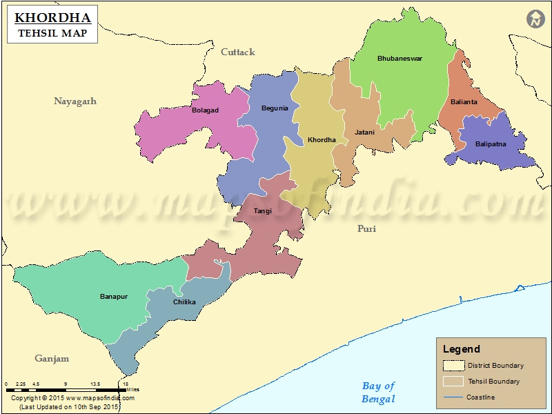
List of C.D. Block in Khordha District | ||
|---|---|---|
| C.D. Block/Police Station Name | Total : Rural + Urban Population (2001) in Number | Pin Code |
| Airfield ( Kapila Prasad ) | N.A | N.A |
| Balianta | 87,691 | 752101 |
| Balipatna | 119,774 | 752102 |
| Balugaon | 100,760 | 752030 |
| Banapur | 97,212 | 752031 |
| Begunia | 88,797 | 752062 |
| Bhubaneswar ( M. Cop. ) | 648,032 | 751001 |
| Bolagad | 82,167 | 752066 |
| Chandaka | 50,617 | N.A |
| Jankia | 108,394 | 752020 |
| Jatani | 113,066 | 752050 |
| Khandagiri | 17,569 | 751030 |
| Khordha | 169,703 | 752055 |
| Khordha Sadar | N.A | 752050 |
| Lingaraj | 30,539 | N.A |
| Mancheswar | N.A | 751017 |
| Nandankanan | N.A | N.A |
| Nirakarpur | N.A | 752019 |
| Saheednagar | 32,327 | 751007 |
| Tangi | 130,747 | 752023 |
| Tonando | N.A | N.A |
| Uttara | N.A | N.A |
Last Updated on : March 25, 2020
|
|
