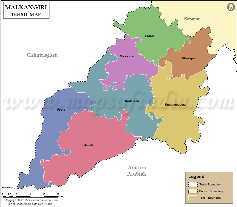
List of C.D. Block in Malkangiri District | ||
|---|---|---|
| C.D. Block/Police Station Name | Total : Rural + Urban Population (2001) in Number | Pin Code |
| Chitrakonda | 52,145 | 764052 |
| Jodamda | N.A | 764052 |
| Kalimela | 88,630 | 764047 |
| M.V. 79 | 34,149 | N.A |
| Malkangiri | 142,026 | 764045 |
| Mathili | 70,616 | 764044 |
| Motu | 30,587 | 764087 |
| Mudulipada | 23,543 | 764051 |
| Orkel | 62,502 | N.A |
| Paparmetla | N.A | 764052 |
| Podia | N.A | 764047 |
Last Updated on : March 24, 2020
|
|
