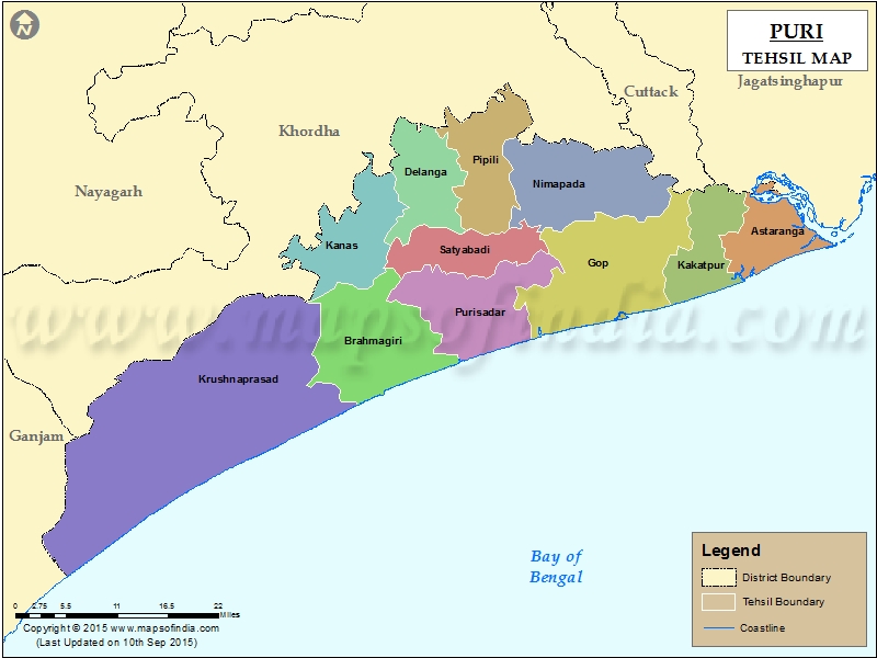
List of C.D. Block in Puri District | ||
|---|---|---|
| C.D. Block/Police Station Name | Total : Rural + Urban Population (2001) in Number | Pin Code |
| Astaranga | N.A | 752109 |
| Brahmagiri | 176,209 | 752011 |
| Chandanpur | 79,414 | 752012 |
| Delanga | 99,123 | 752015 |
| Gadisagada | N.A | 752017 |
| Gop | 124,544 | 752110 |
| Kakatpur | 156,982 | 752108 |
| Konark | 59,289 | 752111 |
| Krushna Prasad | 51,102 | N.A |
| Nimapada | 192,282 | 752106 |
| Pipili | 143,226 | 752104 |
| Puri Town ( M ) | N.A | 752001 |
| Ramchandi | N.A | N.A |
| Sadar | 89,638 | N.A |
| Satyabadi | 173,036 | N.A |
Last Updated on : March 24, 2020
|
|
