 |
District Map of Virudunagar |
|
 |
|

|
|
|
|
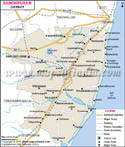
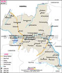
*The Map showing the National Highway, Major roads, other Roads, District Headquarter, Town, etc in the Virudunagar District, Tamil Nadu |
Disclaimer
|
Close Disclaimer: All efforts have been made to make this image accurate. However Mapping Digiworld Pvt Ltd and its directors do not own any responsibility for the correctness or authenticity of the same. |
| |
Major Districts of Tamil Nadu |
|
 |
 |
 |
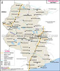 |
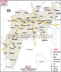
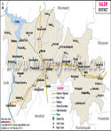
| Kanchipuram District Map | Vellore District Map | Salem District Map | Tirunelveli District Map |
| | | | |
 |
 |
 |
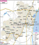 |
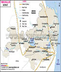
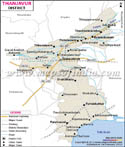
| Erode District Map | Tiruvallur District Map | Thanjavur District Map | Viluppuram District Map |
| | | other districts of Tamilnadu >> |
Virudhunagar district has no access to sea as it is covered by land on all the sides. It is surrounded by Madurai on the north, by Sivaganga on the north-east, by Ramanathapuram on the east and by the districts of Tirunelveli and Tuticorin on the south.
The fertility of the land is low in Virudhunagar district, so crops like cotton, pulses, oilseeds and millets are mainly grown in the district. It is rich in minerals like limestone, sand, clay, gypsum and granite.
Tourists from various places come to visit Bhuminathaswamy Temple, Ramana Maharishi Ashram, Kamaraj's House, Andal , Vadabadrasayi koi, Shenbagathope Grizelled Squirrel Sanctuary, Pallimadam, Arul Migu Thirumeni Nadha Swamy Temple, Aruppukkottai Town, Tiruthangal, Vembakottai, Pilavakkal Dam, Ayyanar falls, Mariamman Koil situated in the district of Virudhunagar.
Last Updated on : November 13, 2025