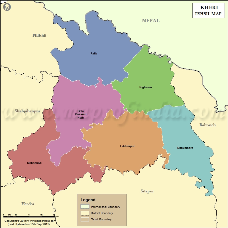
List of Tehsils in Kheri District | ||
|---|---|---|
| Tehsil/Taluk Name | Total (Rural + Urban) Population (2001) in Number | Pin Code |
| Dhaurahara | 463,346 | 262723 |
| Gola Gokaran Nath | 623,383 | 262802 |
| Lakhimpur | 919,907 | 262701 |
| Mohammdi | 659,494 | 262804 |
| Nighasan | 541,102 | 262903 |
| Palia | N.A | 262902 |
Last Updated on : November 13, 2025
|
|
