SERVICES WE OFFER

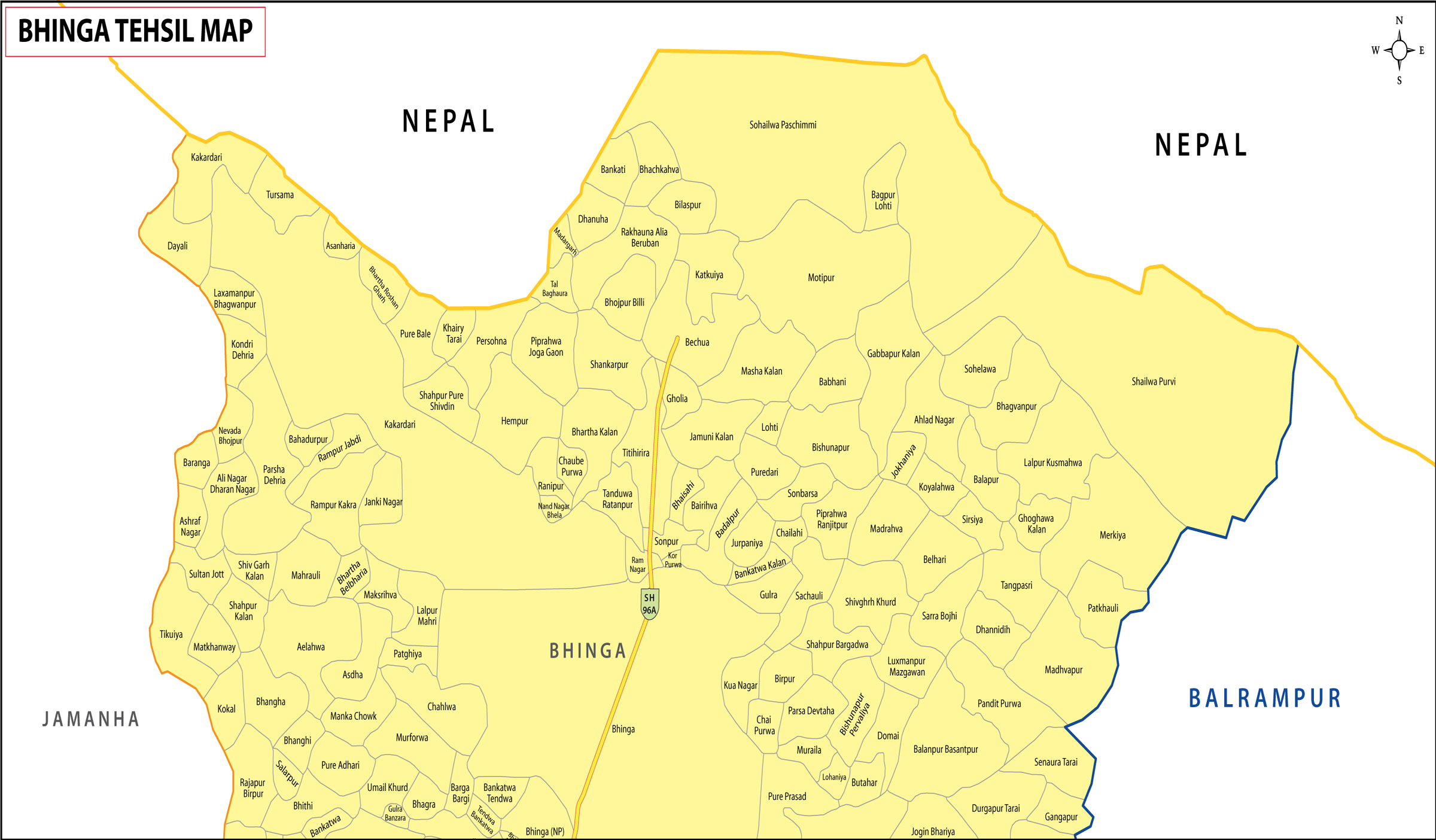
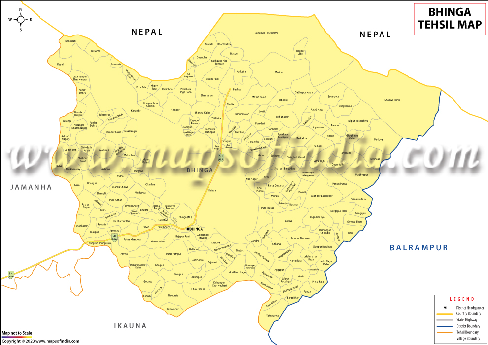
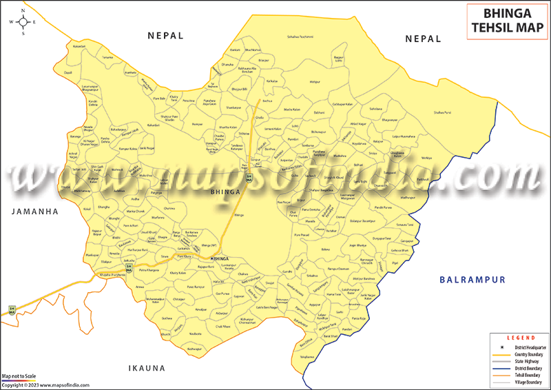
VILLAGE BOUNDARY MAPS
Analyze, plan and decide marketing and sales activities for your rural market.

GIS MAPPING SERVICES
Pan India Village, Pin code, assembly, parliamentary and city ward boundary map data in GIS formats.

MAP-BASED BUSINESS INTELLIGENCE SOLUTION
Business Intelligence Solution to help organizations analyze their data over the maps.

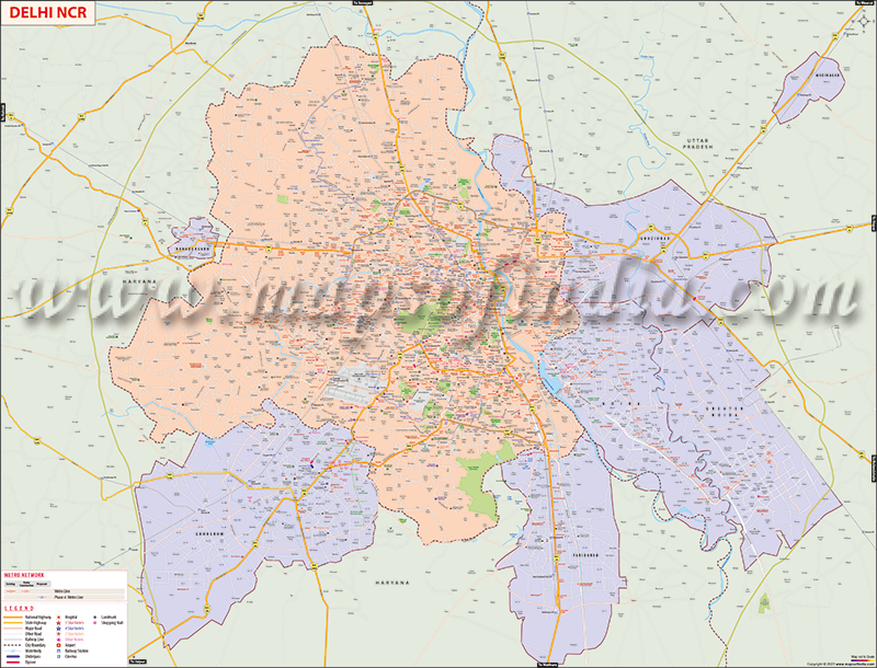
CITY/LOCALITY MAPS
Compare and analyze market penetration and target achievement to assess your sales team.

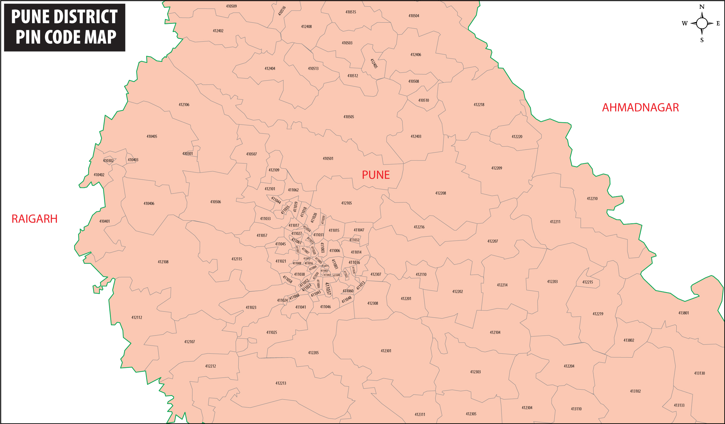
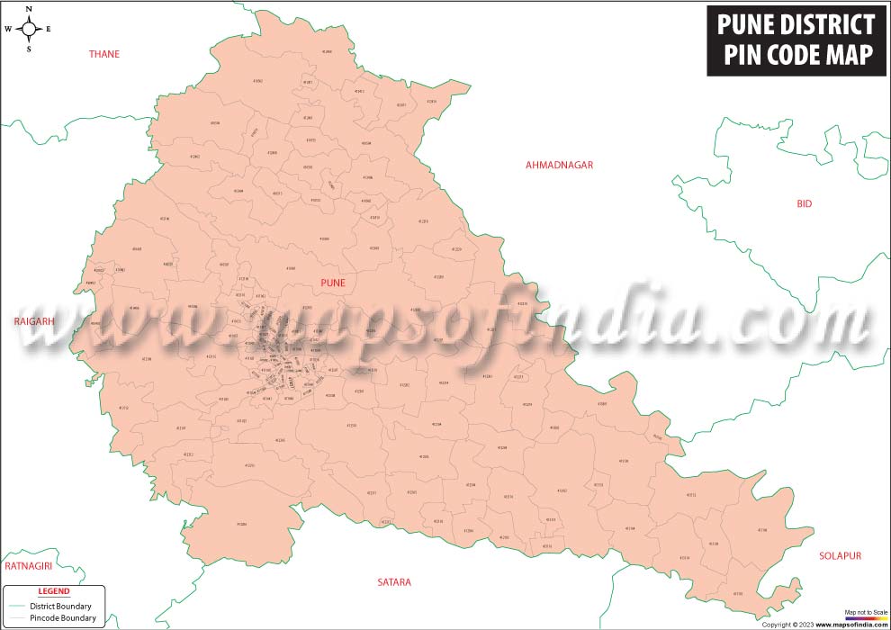
PIN CODE BOUNDARY MAPS
Optimize your sales territory allocation and routing problem within a particular region.

BUSINESS MAPS
Customized business mapping solution that are tailor-made as per individual's business needs.

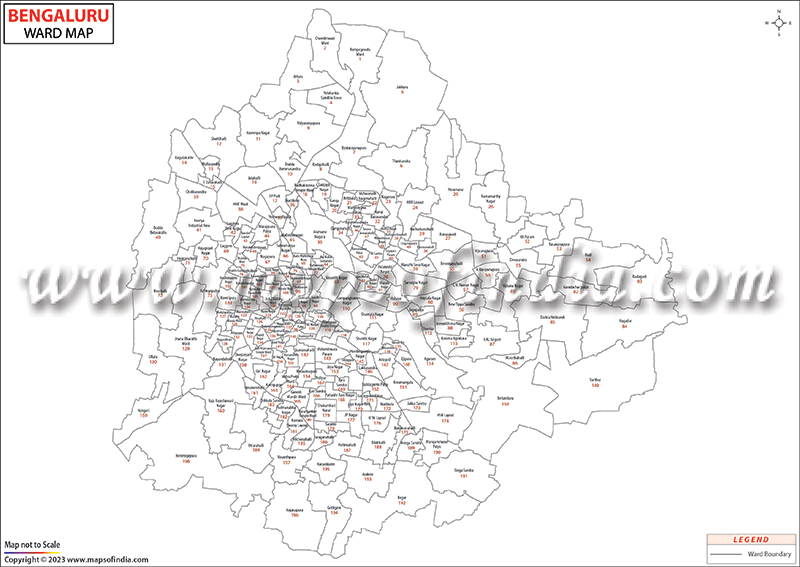
CITY WARD BOUNDARY MAPS
Get a clear overview of city's extended neighborhoods with ward-wise demographic details of the population.

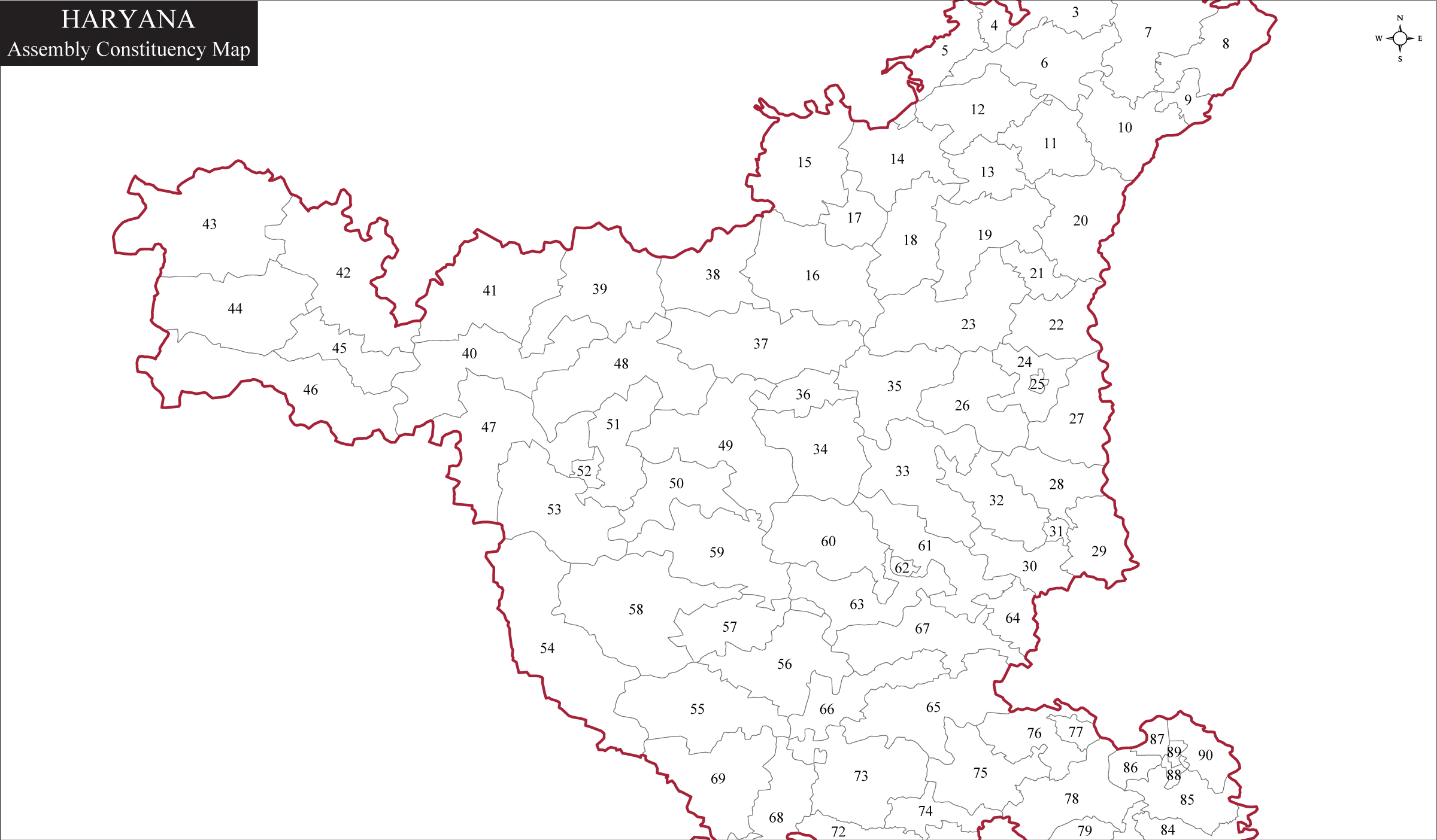
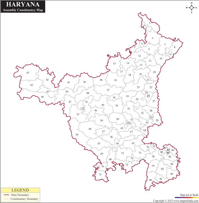
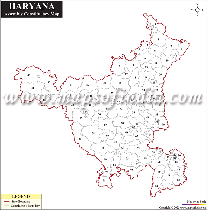
ELECTION MAPS
Get the latest assembly and parliamentary constituency maps created using accurate and authentic sources.

MAPS FOR ATLASES/TEXTBOOKS
Authentic and verified maps showcasing geographical and historical themes

THEMATIC MAPS
Customized theme-based maps prepared as per client needs and assisting them in improving the internal working of their business.
FORMAT
 Raster


 Vector


 GIS
GIS 


OUR CLIENTELE
WHY CHOOSE US
2500+
Clients Out of
Fortune 500
300+
Project
Languages
120+
Clients
Countries
30+
Valued Corporate
Customers
20+
Years of Mapping
Experience
We appreciate your support in successfully completion of the important National Level task for preparation of power Atlas of india and also power Transmission Atlas of Bihar assigned to CBIP by Govt. of Bihar and a leading PSU i.e.M/s. POSOCO.
The Power Atlas on India a very important project for us and the hard work, excellent cooperation and expertise of Compare Infobase Limited was instrumental in its successful execution. The Atlas is now in use across India by several power utilities.
Maps of India's perseverance to deliver quality and adherence to timeliness has made us stick to them for all our cartography requirements, for a good 9 years now!

Fill up the form below to send us a message.
Village Level Maps

Pin Code Boundary Maps
City Locality Maps
City Ward Boundary
Election Maps